The Restigouche River Watershed Management Council is pleased to announce...
Annual General meeting / Assemblée gé...
The 2019 Annual General meeting of the Restigouche River Watershed...
Our Territory
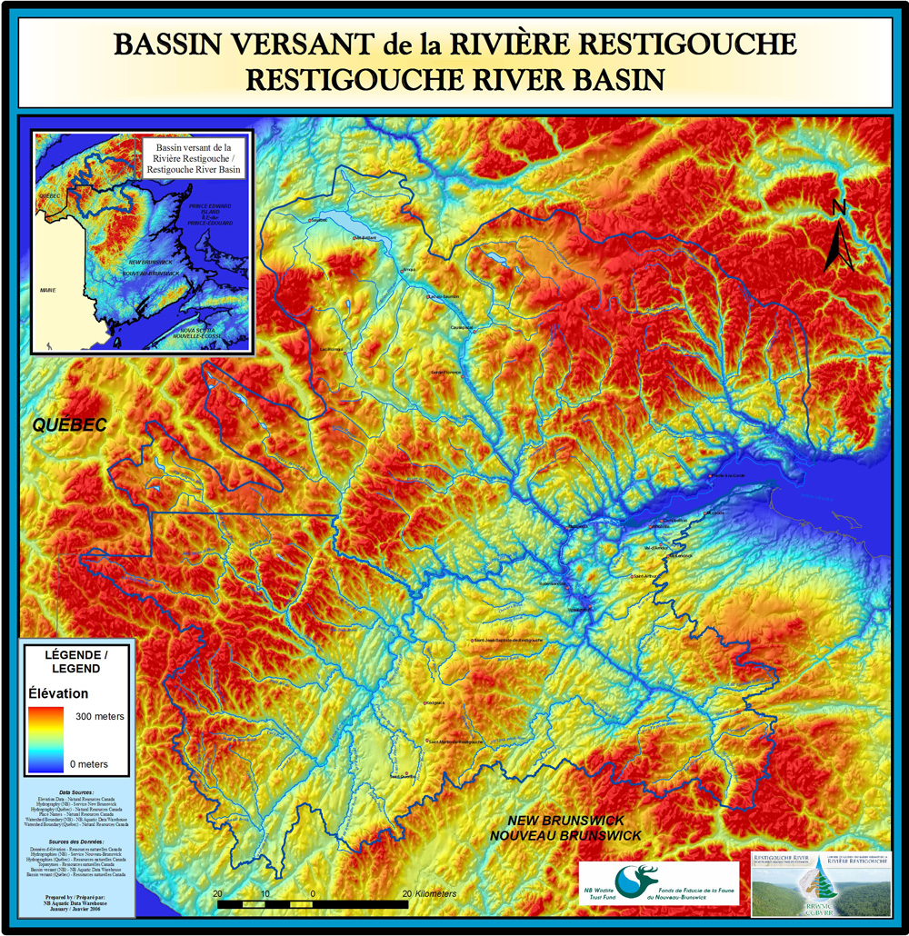
The territory of the Restigouche River Watershed represents an area of more than 10 000 km2, distributed approximately 60% in New Brunswick and 40% in Quebec. This immense basin include the sub-watersheds of the Matapédia, Patapédia, Kedgwick, Little Main and Upsalquitch rivers. The tributaries flowing into estuary from both sides of the border are also part of the territory of our organization.
 In Quebec, the territory includes the municipalities of the centers and western part of MRC D’Avignon, those of the MRC of Matapédia and certain not-organized territories of the MRC Mitis and Rimouski-Neigette.
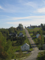
In New Brunswick, the communities in the county of Restigouche located West of Charlo are included in our territory.
We also include Mi’gmaq communities, that is to say those Eel River
Bar and of Listiguj. The topography of the territory is made of plates
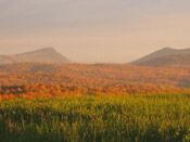
going from 200 to 500 m of altitude covered with maples, fir trees and
spruce forests.
Dairy and bovine Agricultural companies and production of potatoes arepresent on the Top-Plates of Restigouche, in the sector of St-Quentin, like the area of the MRC of Matapédia. One pulp mills is found in Atholville in New Brunswick.